Government of Dubai · Land Department · 2001–2011
Dr. E. Senthil Kumaran
Project Manager – GIS Web Publishing
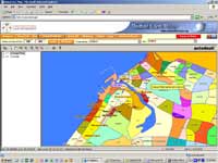
Architect of the Dubai Virtual Map — the first interactive, intelligent, vector-based GIS land information system of its kind across the Middle East, Africa, and Asia (including India). Built from the ground up. Recognised by 7 global platforms. A decade completed by design.
🌍 First of its Kind · Middle East · Africa · Asia incl. India
Award Winning
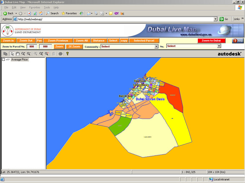
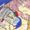
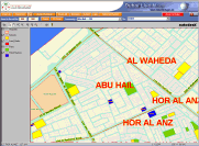
Dubai Live Map · Full emirate view · Color-coded zones · Autodesk MapGuide · dubailand.gov.ae